India’s digitization of land records, enabling citizens to access land record maps online through state portals, reflects a compassionate commitment to empowering individuals, particularly those from marginalized and rural communities, by providing a transparent, accessible system to view, download, and verify property boundaries with dignity and ease.
This initiative fosters trust and inclusion, reducing disputes and ensuring secure property rights that unlock economic and social opportunities for families across the nation. While challenges like accuracy and digital literacy persist, addressing these gaps unites authorities, communities, and citizens in a shared mission to advance transparent land governance, nurturing hope and building an equitable, prosperous future where every individual’s rights and aspirations are respected and protected.
Checking your land record map online in India is now possible through government-backed digital platforms. The initiative, part of the Digital India Land Records Modernization Programme (DILRMP), allows citizens to access cadastral maps, verify property boundaries, and download official documents without visiting revenue offices. This process aims to reduce disputes, improve transparency, and provide easy access to essential land ownership details.
Why Online Land Record Maps Matter
Land record maps, also known as cadastral or plot maps, show the boundaries, size, and location of land parcels. These maps are critical for property verification, dispute resolution, and land transactions. Officials at the Ministry of Rural Development state that digital access ensures accuracy and prevents manipulation of records.
According to the Department of Land Resources, over 90 percent of states and union territories have integrated digital land records with online map services. This effort aligns with India’s push to assign a Unique Land Parcel Identification Number (ULPIN) to every property for improved governance.
Check Land Record Map Online in India
The process varies slightly by state but follows a standard set of steps:
Visit the Official State Land Records Portal
Each state operates its own portal, such as Bhoomi (Karnataka), MeeBhoomi (Andhra Pradesh), AnyROR (Gujarat), or Bhulekh (Uttar Pradesh).
Select the Map or “Bhu-Naksha” Option
Look for the cadastral map, village map, or “land parcel map” section. Some portals directly integrate with Bhu-Naksha, a GIS-based application designed by the National Informatics Centre (NIC).
Enter Land Details
Users typically need to provide district, taluk/tehsil, village name, and survey or plot number. Some portals allow searches by the landholder’s name or Khata number.
Complete Verification
Enter captcha codes or security checks as required.
View and Download the Map
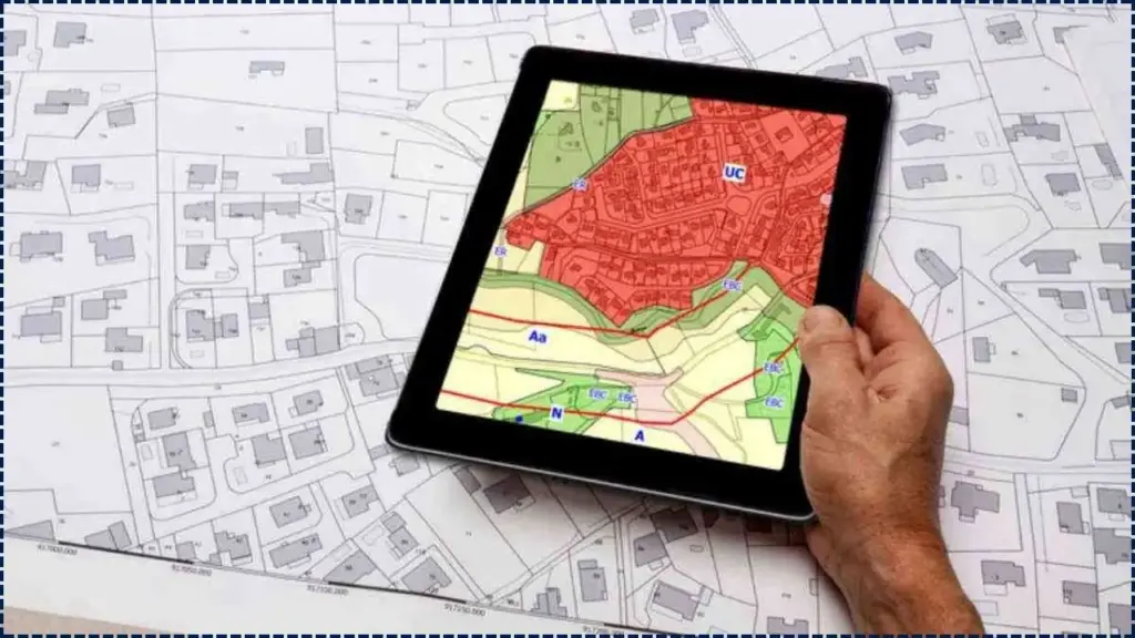
The system generates the parcel map with plot boundaries, adjoining plots, and, in some cases, overlays like roads or water bodies. Many states provide downloadable PDFs.
Related Links
How to Apply for a Police Verification Certificate Online: Here’s the Process
Checking PMAY Subsidy Status Online: Check Step-by-Step Process
How to Apply for a Widow Pension Scheme Online in India? Here’s Complete Details
Examples from Different States
- Karnataka: Under the Bhu Suraksha initiative, certified land record maps and ownership documents are issued online without paper copies.
- Andhra Pradesh: The MeeBhoomi portal offers integrated maps with survey details.
- Madhya Pradesh: The MP Bhulekh portal features the “Bhu-Naksha” option for land parcel maps.
- Uttar Pradesh: Citizens can access Bhulekh UP, where plot numbers link directly to cadastral maps.
Benefits and Challenges
Benefits
- Transparency: Citizens can independently verify land records.
- Accessibility: No need for physical visits to revenue offices.
- Dispute Reduction: Clear boundaries help prevent ownership conflicts.
- Digital Records: Easy to download, print, or share for transactions.
Challenges
- Data Accuracy: Some digitised maps may not reflect recent changes.
- Digital Divide: Rural citizens may lack internet access.
- Legal Validity: Certified copies are often still required for registration or court matters.
According to land governance experts at the Centre for Policy Research (CPR), digital access is a major step forward but must be paired with continuous field verification.

